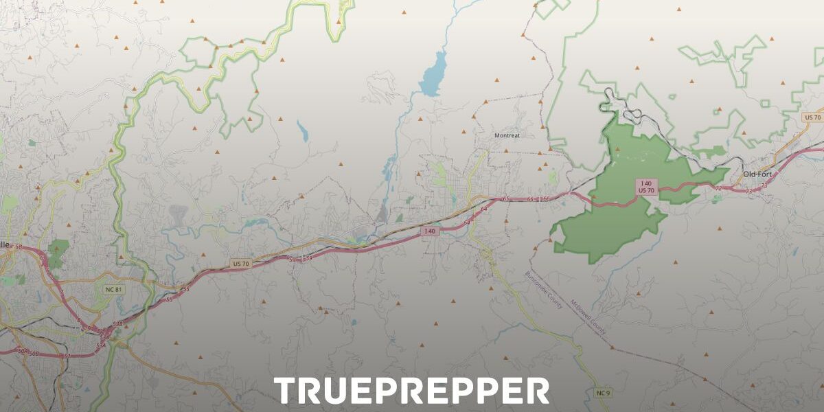
How to Get Free Survival Maps
This is an updated article on how to get a free survival map. Our first article was several years ago, and we will continue to update when new map resources show up.
Maps are an important part of bug out bags, get home bags, and survival kits. Knowing your surroundings can make all the difference in an emergency. You may just appreciate maps and find them interesting. Whatever draws you to maps, finding them online and printing them is easier than ever. Here are the five quick steps to getting a free survival map:
Get a Map Online
There are several free resources to download maps. Here are our two favorite 7.5-minute maps with just a few differences:
- National Geographic USGS maps – a great resource where you can print a quad of your local area just by putting in your town or zip code and clicking on the quads you want to print. It bundles the PDF with adjacent quads so you can easily print areas. This is the traditional USGS map but with added hill shading.
- USGS US Topo Quadrangles – download the maps used by the USGS and Department of the Interior here. The topographical style adds more detail with more lines and fewer colors than the NatGeo maps. These maps are continuously updated, which is a bonus.
If you live in an urban or suburban area, you may also want a street map. There is one resource that rises above the others for easily printing street maps, and it is completely free and open source:
- OpenStreetMap – Less precise than a minute map with topography, but it’ll work for most folks. You can figure out whatever scale you want and print with roads and all.
Of course, you can always go with what you know and print physical copies of Google Maps too.
Print Maps
You can print the maps on any printer, but it helps if you use a color printer. It is optimized for standard 8.5” x 11” paper. If you don’t own a printer, or if you want the map to be free, you can use one at work, at school, or a library.
Print extras, and maybe some for your friends and family. Maps are pretty cool to look at, have around, and stash in your kits- so you can’t print too many.
Alternatively, you can request free maps from many states. My home state of North Carolina will ship you a free highway map in 5-6 weeks.
Mark Your Maps
Take a look at what you print out. What good does it do you if you can’t recognize any landmarks or even where you are on the map? Circle relevant landmarks and mark up the map as you see fit. Make it your own so it is easy to use when you need it. You can write extra information in the margins as you see fit.
Some people say not to mark your home or other personal places on maps in case you lose it, but we’re not living in a spy movie. Put whatever you want on the map, as long as you don’t clutter it up too much.
Protect Your Maps
Protecting what you print is important. There are many options here, from zip-lock bags in the pantry all the way to using special paper. Here are a few ways to protect what you print:
- Ziploc– The cheapest option is also the most used. While it is not completely waterproof, it can usually keep it safe inside a pack or kit.
- Waterproof Bag– This option is better than the zip-lock bag, but it also costs a lot more. You won’t have the leak problems or the sweating problems the zip-lock has.
- Laminating– Laminating your map can make it handle all sorts of bad weather, spills, sweat, or any other thing a disaster may throw at it. You don’t even need to find a professional copy store or have a laminating machine, they make adhesive laminated sheets you can use. Adhesive laminate is not as good as thermal laminate, but it is better than bare printing paper.
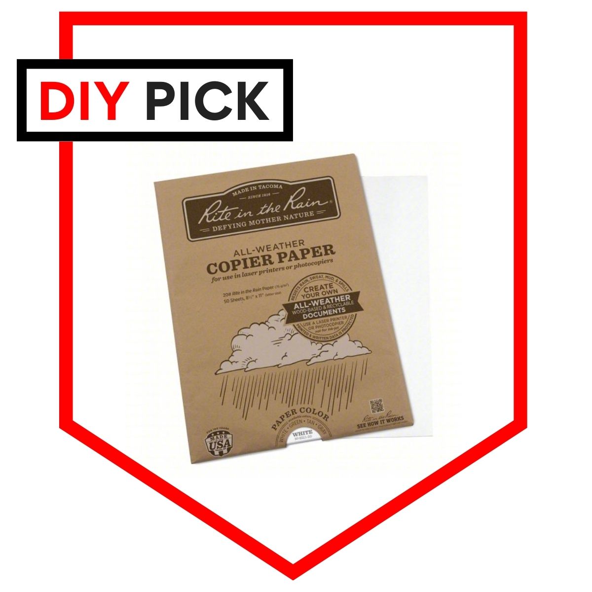
- Waterproof Paper– Printing your free survival map on waterproof paper is probably the best of the options although it can be pretty costly if you print a lot of sheets. You will have to doctor up your maps on the computer before you print since it will be tough to get anything to stay on the paper besides a permanent marker. Rite in the Rain paper is used by the military and law enforcement and is our top pick after reviewing weatherproof paper.
Review for Changes
This step is not for right now, we just need you to earmark it. Come back to your maps periodically to review them for accuracy. Not only can roads and structures change- but even streams and lakes can change over time. If the changes are drastic enough, just repeat the steps above to get an updated map.
We recommend writing a note to review your maps when you review the kits associated with them. For instance, if you are checking expirations on your bug out bag checklist, be sure to include checking your maps.
The Final Word
Printing a free survival map for your various survival kits is pretty easy. Make sure it covers enough area to be useful and that you protect it from the elements and you will be set.
If you are looking for more free resources check out:
- Free Survival PDFs, Manuals, and Downloads [Prepper Library]
- How to Get Free Land in the US (and Canada)
- Free Survival Gear and Prepper Samples
Keep exploring, stay prepared, and be safe.
You’ve Been Missing Out
Join the 2+ million preppers that rely on our prepping advice by subscribing to TruePrepper.- Practical guides and tips
- Useful survival giveaways
- Free, forever
- < 0.4% of people unsubscribe


Hey there! The USGS US Topo Quadrangles aren’t in a format to print in 8.5 x 11 … how do you suggest I print them, so I don’t mess up the precise scaling?
Thanks!
Hi Michael! I was able to easily download the 7.5 minute quadrangle for areas around my home and print on 8.5 x 11. Type in your location so that it narrows your ‘product selection.’ The formatted maps will be found under that product area. Even if your printer shrinks the map, the attached scale on the map will still make them usable.
You can usually pick up a paper state map at a rest stop. In my state (Michigan), they will mail you a paper map free.
I’d like to have my email added to your mailing list. I’m 67 yrs. old, and I’m concerned about this country’s future. Thank you!
I would bet that most people could not even read a map. Also, to take it a step further… most people could not read a compass and position a map so as to properly use it for orientation and use.